Surveying & Mapping

Accurate results. To the centimeter.

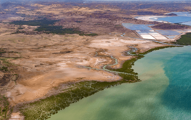
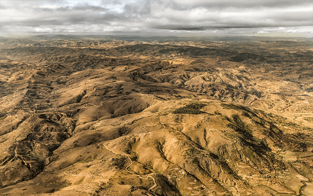
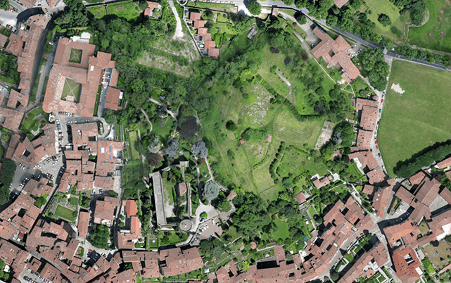
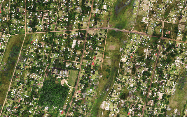
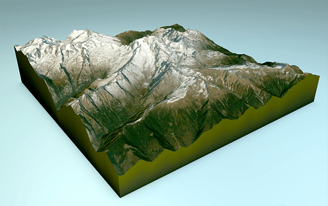
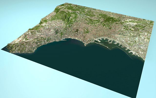
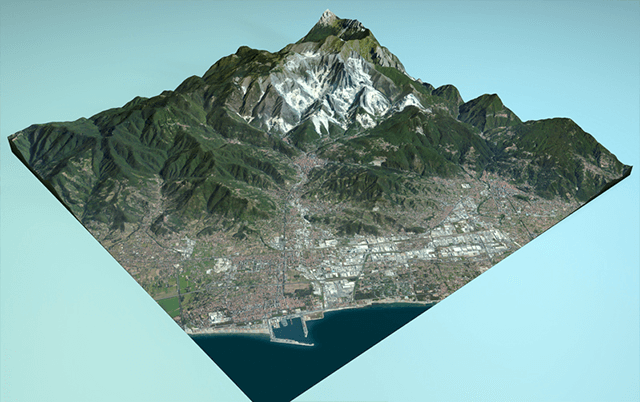
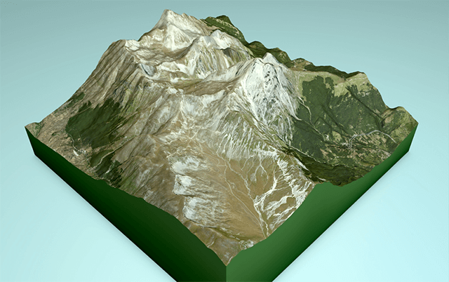
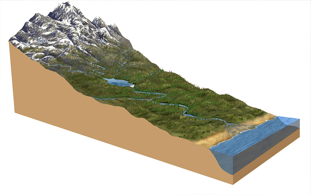
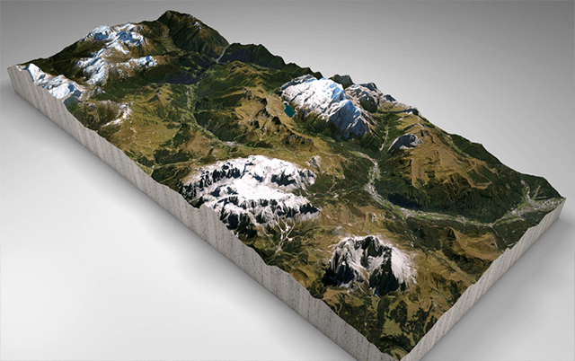
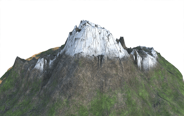
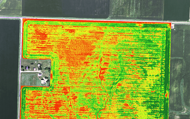
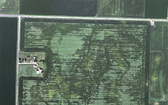
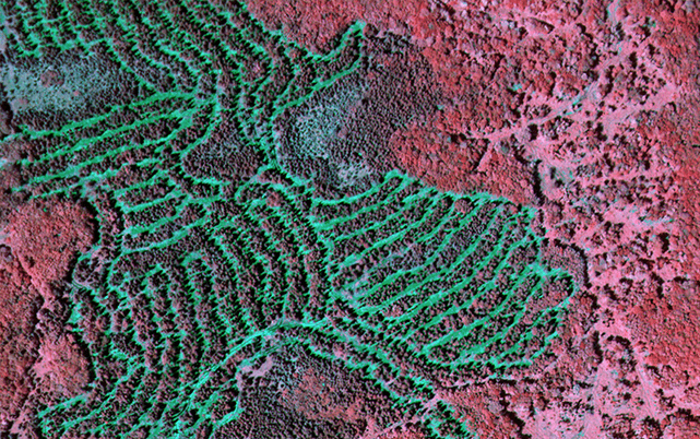
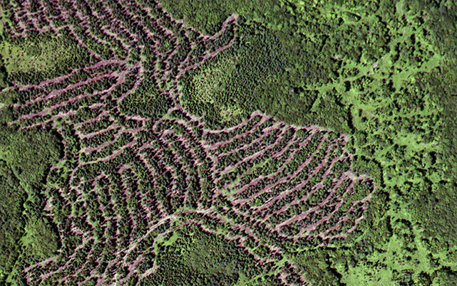
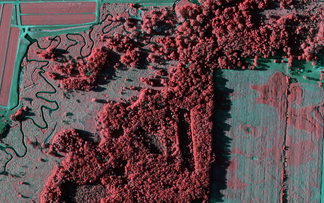
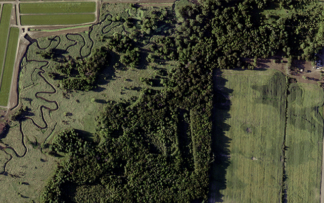
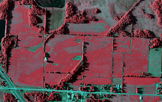
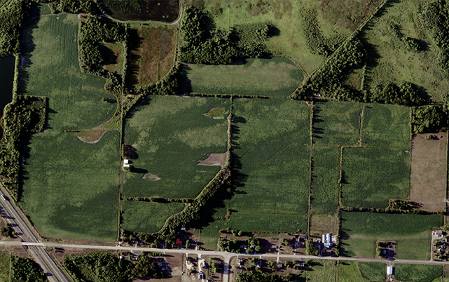
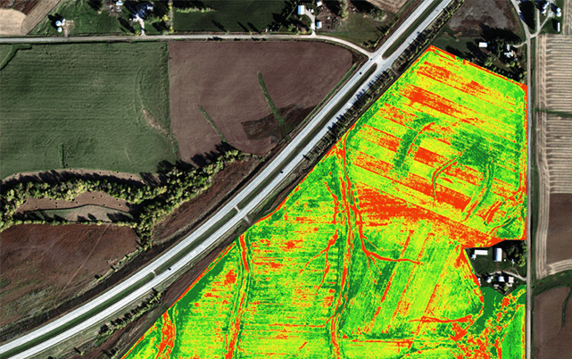
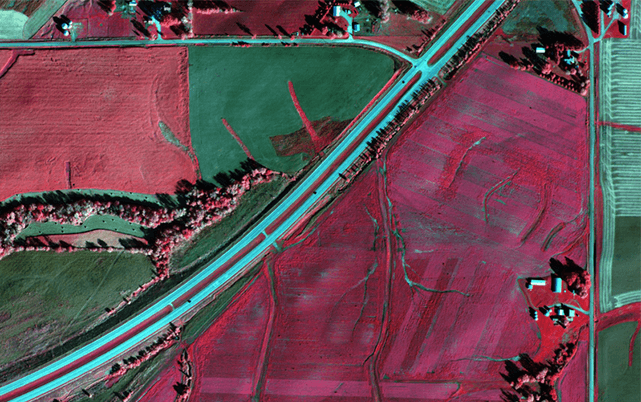
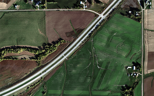
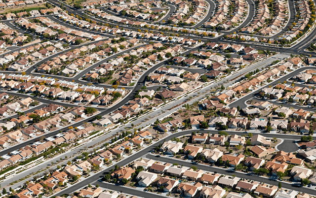
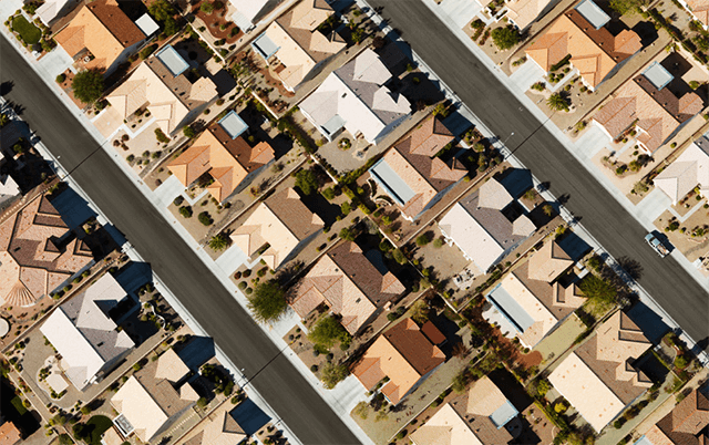
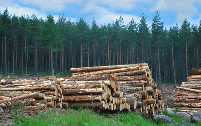
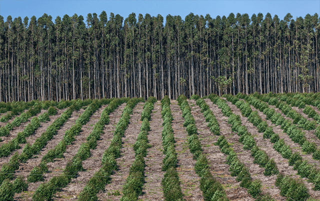
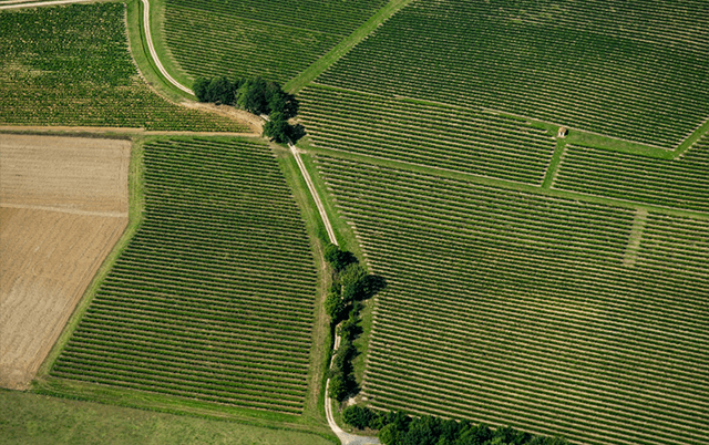
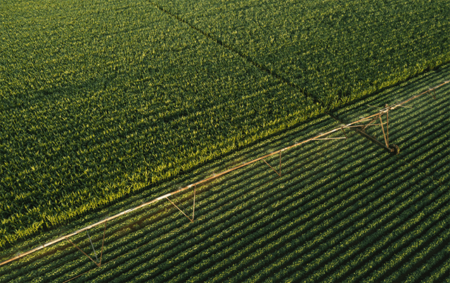
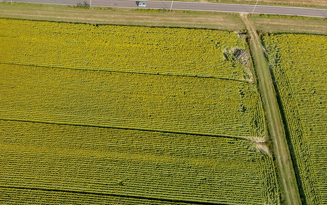
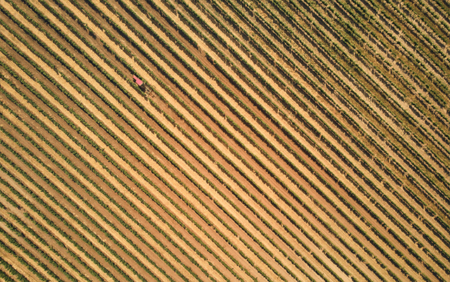
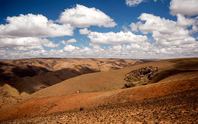
AerialMetric is still investing in its core business, i.e. the acquisition of aerial data and the processing of reliable maps. Thanks to its latest UAV technology, AerialMetric is now performing fast aerial surveys across wide or hard-to-reach areas, at speed, accuracy and costs that are unparalleled using traditional (land or aircraft-based) methods.

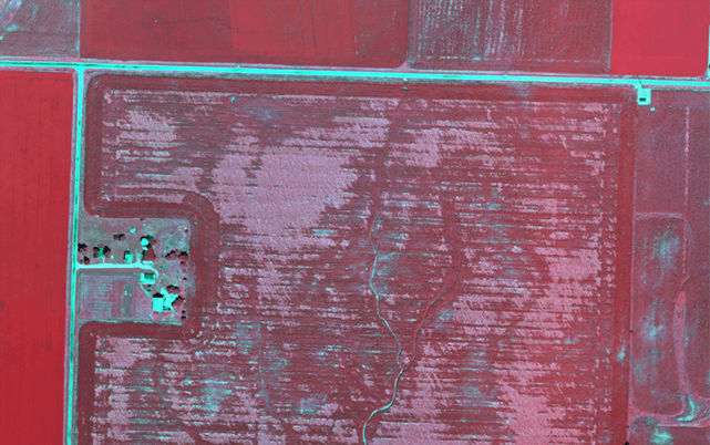
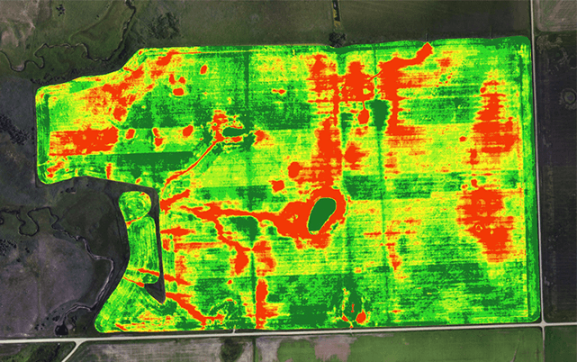
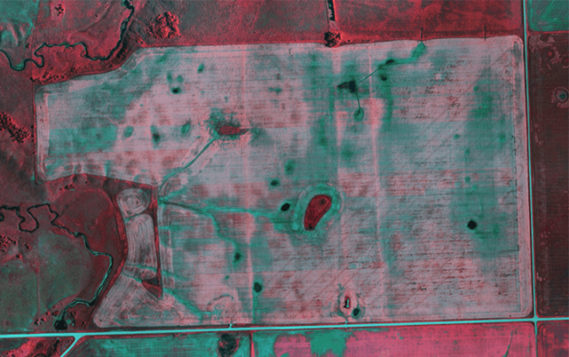
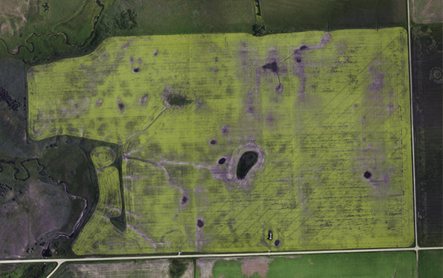
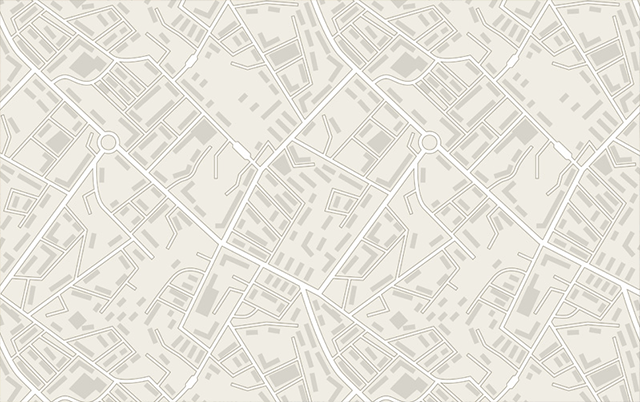
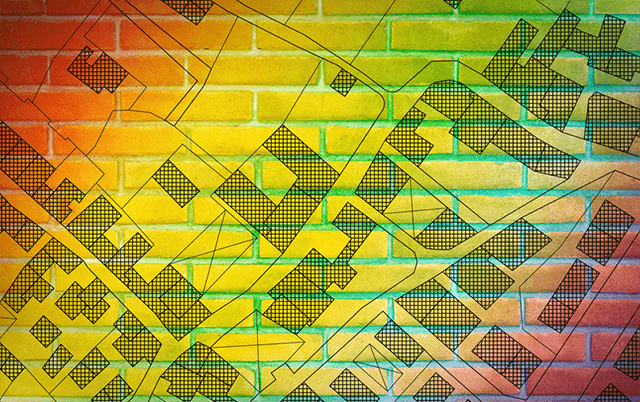
Our UAV comes equipped with a choice of high-resolution mapping cameras, professional multispectral cameras and LIDAR sensors. Sensors can be exchanged in the field, making the same drone suitable for different applications. Using an intuitive flight planning software and the fully autonomous flying operations, surveyors can capture geo-tagged aerial images with virtually no piloting skills.

Single images

Single high-resolution aerial pictures collected by AerialMetric are used in various research areas. Combined with machine learning algorithms, individual aerial photos can transport massive amounts of information.

Map Output:
Single Images

Orthophotos / Orthomosaic Maps

2D orthomosaic maps contain the location (exact X and Y coordinates) and color information of each point on the map. These aerial maps can be used for linear (distance) and surface calculations as well as alteration monitoring.

Map Output:
2D georeferenced orthomosaic maps

3D Reconstruction

3D data can be turned into 3D models, point clouds, digital surface and terrain models, elevation maps, photorealistic reconstructions and more. These high-resolution aerial imagery outcomes provide volume, distance, surface area and elevation calculations used in mining operation planning, stockpile inventories, topography depiction and generating photorealistic models.

Map Output:
3D point cloud, Orthomosaic, Texture map, Digital surface and terrain
model (DSM, DTM), Contour lines

Multispectral Imagery

With certain camera option, AM collects multispectral data that can be turned into chlorophyll maps, NDVI layers, digital surface models or RGB single images. A resultant high-resolution aerial view map can be used for monitoring plant health and vigor, as well as evaluating surface properties, water flow and much more.

Map Output: Index map (NDVI), Chlorophyll map, NDRE, OSAVI, NIR, CIR, DSM, Weeds ½, RGB

Sectors

1. Land and urban GIS

Drone technology represents a huge potential for surveyors and GIS professionals. It greatly cuts the cost and work hours of data capture. Further, you can survey otherwise unreachable areas and deliver high-resolution aerial maps that would be otherwise impossible to produce in a safe or cost-effective way.

2. Agriculture and Agroforestry

High-resolution and multispectral cameras make it easy to capture precise images of crops or forests and provide accurate plant counts or identify plants’ health problems early on. This data can be used to prevent costly spread of diseases or invasive species. It can also provide valuable insights to boost yield productivity. Our UAVs are simply taking agriculture and forestry to a whole new level while saving time and money for the professionals of these domains.

3. Environment and Research

Conservationists and researchers use commercial drones to easily and quickly track wildlife or monitor land changes without the need for low-resolution satellite images or costly manned aircraft.